
ファイル:US 322.svg

この SVG ファイルのこの PNG プレビューのサイズ: 750 × 600 ピクセル. その他の解像度: 300 × 240 ピクセル | 600 × 480 ピクセル | 960 × 768 ピクセル | 1,280 × 1,024 ピクセル | 2,560 × 2,048 ピクセル。
元のファイル (SVG ファイル、750 × 600 ピクセル、ファイルサイズ: 8キロバイト)
ウィキメディア・コモンズのファイルページにある説明を、以下に表示します。
|
概要
| 解説 |
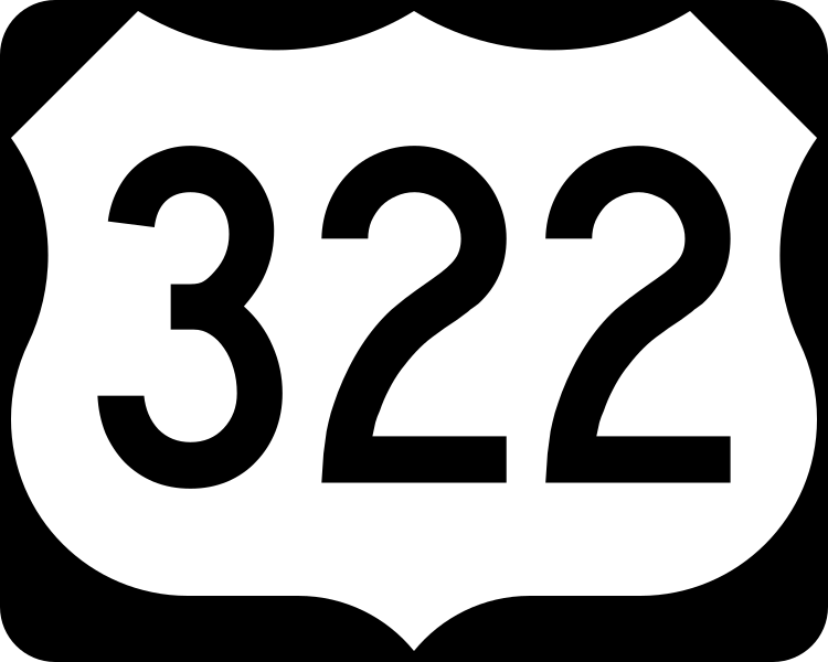
English: 750 mm × 600 mm (30 in × 24 in) U.S. Highway shield, made to the specifications of the 2004 edition of Standard Highway Signs. (Note that there is a missing "J" label on the left side of the diagram.) Uses the Roadgeek 2005 fonts. (United States law does not permit the copyrighting of typeface designs, and the fonts are meant to be copies of a U.S. Government-produced work anyway.) |
| 日付 | (UTC) |
| 原典 | 2004 MUTCD Standard Highway Signs |
| 作者 | Fredddie, originally SPUI |
ライセンス
This file is in the public domain because it comes from the Manual on Uniform Traffic Control Devices, sign number M1-4, which states specifically on page I-1 that:
|
.svg) |
ファイルの履歴
過去の版のファイルを表示するには、その版の日時をクリックしてください。
| 日付と時刻 | サムネイル | 寸法 | 利用者 | コメント | |
|---|---|---|---|---|---|
| 現在の版 | 2017年8月26日 (土) 01:37 | | 750 × 600 (8キロバイト) | Fredddie | |
| 2006年1月27日 (金) 07:51 |  | 750 × 600 (5キロバイト) | SPUI~commonswiki | {{spuiother}} 750 mm by 600 mm (30 in by 24 in) U.S. Route shield, made to the specifications of the [http://mutcd.fhwa.dot.gov/SHSm/Guide.pdf 2004 edition of Standard Highway Signs]. (Note that there is a missing "J" label on the left side of the diagram |
ファイルの使用状況
以下の 12 ページがこのファイルを使用しています:
グローバルなファイル使用状況
以下に挙げる他のウィキがこの画像を使っています:
- bn.wikipedia.org での使用状況
- de.wikipedia.org での使用状況
- en.wikipedia.org での使用状況
- Harrisburg, Pennsylvania
- U.S. Route 1
- Interstate 95
- Interstate 99
- New Jersey Turnpike
- Lancaster County, Pennsylvania
- U.S. Route 9
- Interstate 80
- Bitzer's Mill Covered Bridge
- Appalachian Trail
- Interstate 83
- Interstate 81
- Interstate 90
- Interstate 79
- Venango County, Pennsylvania
- Perry County, Pennsylvania
- Mifflin County, Pennsylvania
- Mercer County, Pennsylvania
- Lebanon County, Pennsylvania
- Jefferson County, Pennsylvania
- Delaware County, Pennsylvania
- Dauphin County, Pennsylvania
- Crawford County, Pennsylvania
- Clearfield County, Pennsylvania
- Clarion County, Pennsylvania
- Chester County, Pennsylvania
- Centre County, Pennsylvania
- Geauga County, Ohio
- Cuyahoga County, Ohio
- Ashtabula County, Ohio
- List of United States Numbered Highways
- New Jersey Route 42
- New Jersey Route 45
- New Jersey Route 47
- New Jersey Route 50
- New Jersey Route 54
- New Jersey Route 55
- Downingtown, Pennsylvania
- West Chester, Pennsylvania
- Meadville, Pennsylvania
- Chester, Pennsylvania
- New Jersey Route 73
- North Country Trail
このファイルのグローバル使用状況を表示する。